The USDA Forest Service recently announced a 10-year strategy to confront the wildfire crisis and improve forest resilience. The agency will work with partners over the next decade to treat up to an additional 20 million acres on National Forest System lands and up to an additional 30 million acres of other Federal, State, Tribal, and private lands. This article highlights how agency scientists, and their research are informing how we limit erosion in areas affected by severe wildfire.
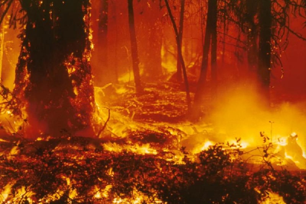
As wildfires increase in size, so does the potential for erosion – especially on landscapes that experience intense wildfires. Erosion increases sediment and wildfire ash in rivers and streams and can put people, property and water supplies at risk.
For example, fires like Colorado’s record-breaking Cameron Peak Fire in 2020 are so large and burn so hot that in many places, there is very little, if any, vegetation left behind. The remaining soil is vulnerable and exposed to weather events that can trigger extreme flooding, such as that which followed the Cameron Peak Fire, causing destruction to natural and manmade features as well as claiming lives.
As wildfires increase in size, so does the potential for erosion – especially on landscapes that experience intense wildfires. Erosion increases sediment and wildfire ash in rivers and streams and can put people, property and water supplies at risk.
Forest Service scientists are looking at land management practices designed to mitigate erosion after severe fire events. Here a scientist measures the velocity of soil runoff with a green dye tracer on a straw mulch treatment plot. Photo by Pete Robichaud.
Pete Robichaud, a research engineer with the Rocky Mountain Research Station, and his team are looking at land management practices designed to mitigate erosion after severe fire events. They’re studying what happened on large fires in the past and are using that knowledge to build predictive models that demonstrate how well the erosion reducing techniques perform over time. By examining the recovery curves from old fires, such as the Hayman Fire in 2002, they can predict the recovery of forest vegetations and soil impacts. The Hayman Fire devastated large areas (over 100,000 acres) in Colorado and was a preview of high-severity fires and the associated erosion to come. The Hayman Fire burned area is still recovering today.
Rocky Mountain Research Station scientists are studying the effectiveness of straw bale check dams, like this one, at reducing postfire runoff from steep channels. After four rain events, this straw bale dam is filled to maximum capacity with sediment runoff. USDA Forest Service photo Pete Robichaud.
Land managers also have access to sophisticated but easy-to-use erosion risk management tools. The Forest Service Water Erosion Prediction Project Computer Model, or FS-WEPP, allows users to quickly evaluate erosion and sediment delivery potential from burned areas in forests, rangeland, chaparral and shrublands as well as for forest roads and timber harvest areas. The model predicts erosion rates and sediment delivery using input values for forest conditions. The WEPPcloud allows users to upload a burn severity map and predict erosion based on burn severity. The Erosion Risk Management Tool, or ERMiT, allows users to predict the amount of sediment from a hillslope following a fire on forest, rangeland and chaparral landscapes in the five years following the wildfire, and to compare the impacts of various treatments to reduce erosion. Land managers can draw upon recent research about the role of mulch in short- and long-term erosion reduction as well as the effectiveness of straw bale check dams to inform their work.
Tools that help land managers quantify post-fire treatment outcomes enable them to evaluate which treatments will provide “the biggest bang for their buck.” During the height of wildfire season, Robichaud spends his days working with people who are using these models in real time. “We now have really robust, data-backed models that managers can use to make informed postfire erosion control decisions,” he said.