The Oregon Water Resources Department and U.S. Geological Survey have released a new groundwater basin study for Harney Basin in southeast Oregon. The investigation is the first comprehensive hydrologic study of the entire basin, containing data and analyses from a five-year study period. The study will inform groundwater planning and management in the basin.
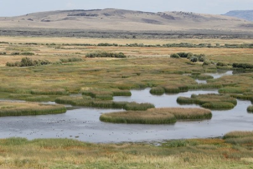
Most people living in the Harney Basin rely on groundwater as their main source of drinking water. Groundwater is also used for agriculture, livestock, fish and wildlife and other uses. Since 2010, groundwater development has increased substantially in the 5,240 square-mile basin, mainly due to an expansion in crop irrigation.
As the demand for groundwater in the basin increased, groundwater levels declined. In 2016, this prompted OWRD to cease issuing groundwater permits for additional development. At the time, OWRD, USGS and basin interests agreed additional information about the groundwater- flow system was needed to fully understand the ability of the system to sustain existing uses and to accommodate additional development.
“This new study is a tool for understanding and managing the basin’s groundwater resources,” said OWRD Groundwater Section Manager, Justin Iverson. “With it, we have a refined understanding of the basin water budget and rates of groundwater declines in different portions of the basin. Unfortunately, the results of the study indicate that groundwater is over-allocated and that groundwater- level declines in some areas are worse than anticipated. In order to achieve reasonably stable groundwater levels, groundwater use needs to be reduced in the basin, particularly in areas experiencing the greatest decline. This study provides us with an excellent technical foundation on which to work in partnership with the basin stakeholders to build strategies to manage the basin’s groundwater resource sustainably.”
The study includes the rates and distribution of groundwater recharge and discharge throughout the region to aid local and state water-management decisions. Groundwater discharge in the lowlands – more than half of which is pumped from wells – exceeds the estimated groundwater recharge to the lowlands by about 110,000 acre-feet/year. Smaller amounts are also consumed by native plants and discharged to streams and springs. This imbalance results in removal of groundwater from storage in the aquifer system, as evidenced by the large groundwater-level declines observed in the areas of greatest groundwater pumpage.
“Our groundwater study team compiled and analyzed a substantial amount of data including geologic maps, satellite imagery, climate, streamflow and water-level measurements, geologic logs from hundreds of wells and water-chemistry to better understand the amount, source and age of groundwater flowing through the basin,” said USGS Research Hydrologist and lead investigator on the study, Stephen Gingerich. “With these efforts, we’ve greatly improved our knowledge of the groundwater system and how it’s affected by recent agricultural pumpage.”
Three areas of the Harney Basin have experienced groundwater level declines exceeding 40 feet compared to pre-development conditions: near the Weaver Spring/Dog Mountain area, in the northeastern floodplains along U.S. 20 and near the community of Crane. A small area of the basin has experienced groundwater level declines more than 140 feet, and some shallow wells have gone dry. Areas of more modest groundwater level decline (about 10 feet) were identified in the Virginia Valley area and the Silver Creek floodplain north of Riley. Smaller localized areas of groundwater level declines have also formed around individual wells or groups of wells throughout the Harney Basin lowlands.
At the beginning of the study in 2016, the Department and Harney County Court convened the Harney Groundwater Study Advisory Committee, consisting of local residents, landowners and business owners, as well as representatives from the Harney County Court, the U.S. Fish and Wildlife Service, the Burns Paiute Tribe and The Nature Conservancy. From 2016 to 2019, the advisory committee met quarterly with the groundwater scientists to contribute local knowledge, comments, questions, suggestions and assistance, and allowed access to property, wells and springs for groundwater-level measurements and groundwater sample collection during the study.
Prior to release, the reports resulting from the study underwent a USGS tiered scientific peer review process, which included technical experts independent of the study.
OWRD and USGS are planning to share the study results and answer questions at community meetings in late spring/early summer 2022. Meeting details are forthcoming. Following those meetings, the Department will continue engaging with residents, local partners and Harney County’s Community-Based Water Planning Collaborative on actions to achieve reasonably stable groundwater levels.
Original source can be found here.