If you want to know how many acres of forest in your state were converted to agriculture, what the last hurricane did to forests in its path, or how much carbon is stored in the trees in your county, the Forest Service can provide the answer.
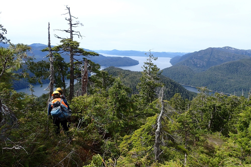
The FIA program maintains a network of over 325,000 permanent plots across 50 states and U.S. islands from which data on land and forest attributes is collected and made available to the public. (USDA Forest Service photo)
The agency’s Forest Inventory and Analysis program collects data about forests, from how much exists to who owns it.
“We’re like the U.S. Census Bureau,” said Gretchen Moisen, a research forester with the Inventory and Analysis program. “Only for trees, not people.”
Moisen and her colleagues create models of forest characteristics using data gleaned from field inventory plots. Roughly one-acre plots on public and private lands in the lower 48 states are spaced about three miles apart. On forested plots, field crews collect detailed data such as the species, diameter and age of individual trees. They also gather a big-picture analysis of forest health, disturbance history and other site characteristics.
Remote sensing instruments, often mounted on satellites and planes, enhance the information collected on plots. They allow Forest Service scientists to observe the entire landscape from a bird’s eye view. This way, the scientists might notice features and patterns invisible from ground level and changes in land composition over time. The models produced can help track changes from fire, wind, insects and other disturbances and improve the quality of foundational information about forest resources across the country.
Forest Inventory and Analysis data is designed to work great at broad scales.
“But people need more detailed information in space and time,” said Moisen. “Like how much biomass is there in my county? How many trees were affected by a specific fire, or uprooted by wind, or sustained recent damage from insects or disease?”
Forest Service scientists can anticipate changes to large landscapes by combining information gathered from a given study site with cutting-edge remote sensing technology. (USDA Forest Service photo)
These sorts of questions challenge researchers because they involve geographic regions that may contain only a handful of plots. Some areas have been inventoried too recently for long-term trends in land use to appear.
“Statisticians call these ‘small areas’ not necessarily because of the size of the region of interest,” Moisen said. “But because they contain too little data to construct reliable estimates using FIA’s conventional tools.”
To solve this problem, Moisen and fellow scientists, statisticians and developers employ small area estimation, an approach allowing researchers to pull data from plots across the country to assess a much smaller region.
For example, the damage from a fire that burned 50 square miles — an area that might contain five sample plots — would be evaluated by combining data from thousands of ecologically similar plots. By borrowing data, scientists can more easily defend their estimates. For comparison, you would likely feel more comfortable reporting the ratio of heads to tails produced by a coin flip if you combined the data from many people rather than only relying on your own results.
These methods also benefit members of the public concerned with natural resource management. Using small area estimation data, a forest landowner might demonstrate that forest growth exceeds timber removals on her property; a mill owner might glean information on wood market trends in his area; or a forest manager might decide where to harvest timber or treat areas to restore wildlife habitat.
Evaluating small tracts over short periods requires big teams. Statisticians, scientists, remote sensing specialists, programmers, students and others work across geographic and technological barriers to compile small area estimates. Moisen acts as a liaison, helping these people communicate and consolidate their knowledge.
Over the next few years, she hopes to see the scope of small area estimation expand.
“FIA is working to make this science accessible, so people can begin to answer all those hard questions about small spaces and short time intervals,” she said.
She cites decades-long progress in the Forest Service — slow but sure — as evidence of coming improvements.
“In a large national program, you cannot just change what you are doing every year,” she said. “Imagine moving a big boat. You need to be thoughtful and cautious about the changes you make to that boat’s direction. But FIA and our partners are working hard to embrace new technologies and meet evolving information needs.”
Original source can be found here.