Authored by Kelly Speakes-Backman, Acting Assistant Secretary for Energy Efficiency and Renewable Energy, U.S. Department of Energy, and Tanya Trujillo, Assistant Secretary for Water and Science, U.S. Department of the Interior
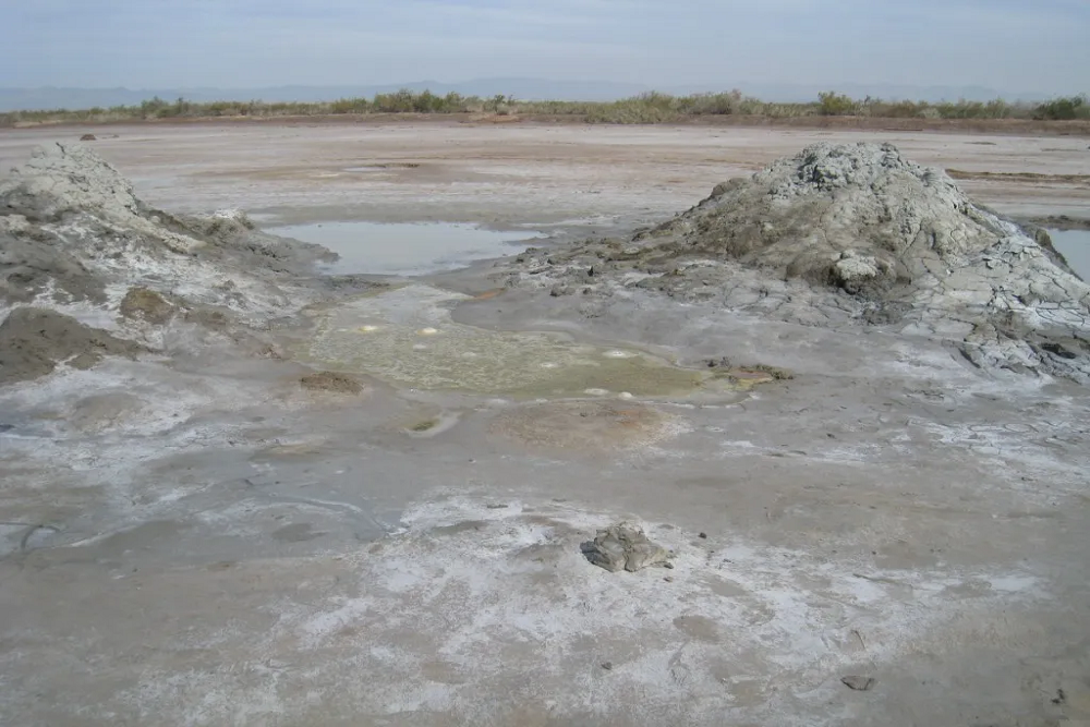
The Department of Energy’s (DOE) Geothermal Technologies Office (GTO) and the Department of the Interior’s (DOI) U.S. Geological Survey (USGS) have recently launched the GeoFlight: Salton Trough initiative. Together, GTO and USGS are collecting data on hidden geothermal systems in California’s agriculturally rich Imperial Valley; the centerpiece of this valley is the geothermally active Salton Sea. In our respective Assistant Secretary roles, we actively pursue interagency work that unites core strengths to deliver the most impactful R&D outcomes.
Using specially equipped, low-flying aircraft, researchers with the USGS Earth Mapping Resource Initiative will survey the Salton Trough area. Their tools actively capture airborne magnetic and radiometric data that help identify unique surface and near-surface characteristics to create more accurate geologic maps for the area. Understanding these characteristics is essential to geothermal exploration and development. Ultimately this will help deploy renewable energy in a thoughtful, responsible, and economic manner.
Additionally, the USGS, in cooperation with the Bureau of Land Management and Natural Resources Conservation Service, is conducting a high-altitude airborne lidar survey over the area. The USGS 3D Elevation Program will provide publicly available, high-quality elevation data for the study area.